Use Cases
Three example scenarios show how the Operator Console brings drones, sensors and field teams together.
Linear infrastructure
Pipelines, power lines, railways and border sections often cross terrain that is hard to reach. Drones inspect the corridor along a stored route.
Several drones take turns: as one returns to the base station to charge, the next launches. When detection flags something unusual, the station operator receives an alarm with a position and image crop and decides whether to send someone to verify it on site.
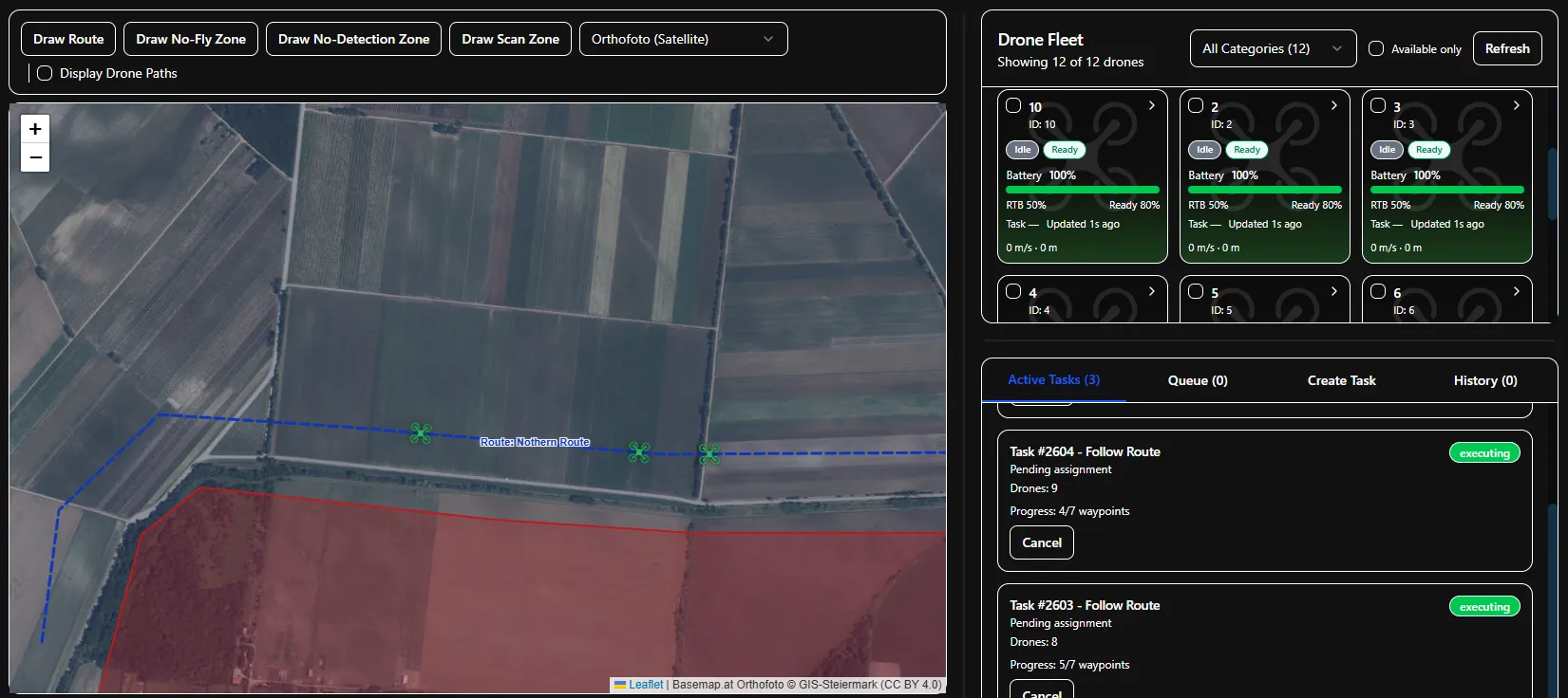
- Area
- Pipeline, power line, railway or border section
- Setup
- Base station at the corridor, several drones
- Operation
- Autonomous patrols with rotating drones
Search and rescue
Searching for a missing person requires systematic coverage. Several drones take on search sectors in forests, mountains or other terrain that is hard to reach.
The search area is divided into sectors and flown systematically. Optical and infrared models mark possible persons on the map. The station operator tracks progress and coverage and directs crews on the ground to a specific cue.
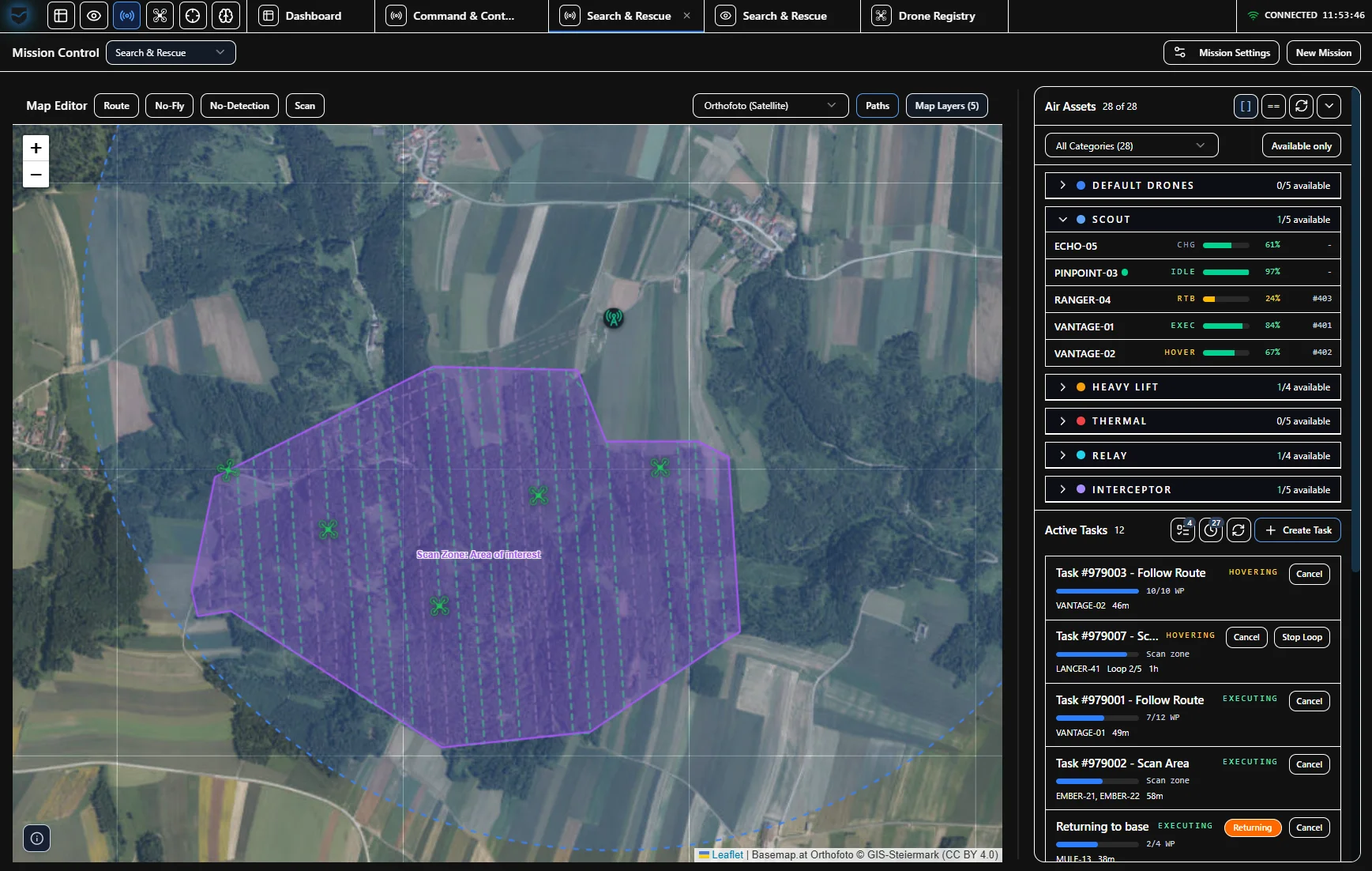
- Area
- Forests, mountains and hard-to-reach terrain
- Setup
- Mobile base station, optical and thermal cameras
- Operation
- Scan missions with traceable area coverage
Perimeter and asset protection
Fixed cameras and sensors monitor gates, fences and critical points. Drones on standby complement the baseline picture and fly to a specific point when an alarm comes in.
Stationary sensors and drones feed their observations into the same situational picture. Geofencing bounds routes along the perimeter. Trainable models detect persons, vehicles and objects; the station operator assesses alarms and escalates them by priority.
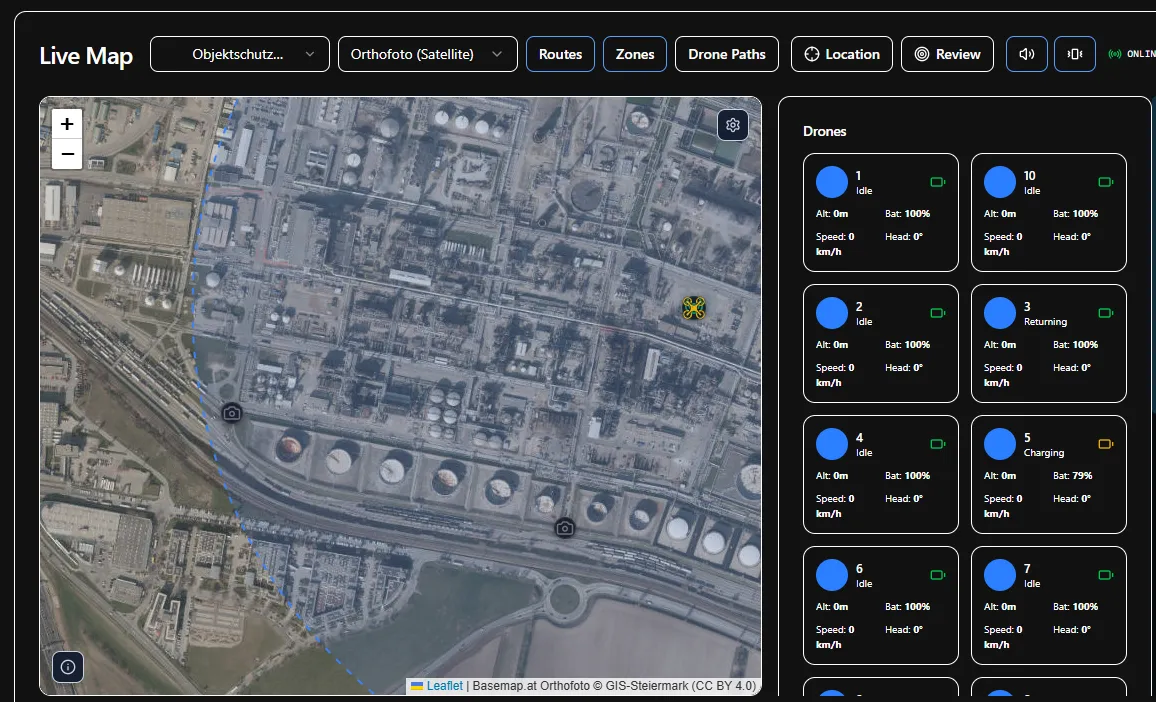
- Area
- Industrial sites and critical infrastructure
- Setup
- Stationary sensors, drones on standby
- Operation
- Alarm-triggered flights and perimeter routes with geofencing
Station and field teams share one situational picture.
In all three scenarios, the station operator monitors missions and cues in the console. The field operator verifies cues on site. Observations are marked as points of interest, prioritised and escalated when needed.
Discuss your use case
Demonstrator shown on site in Austria.
Get in touch